Long-Term Model Outlooks on potential freezing rain/ice events
Sidney Sperry 12 Jan 2025 14:30 UTC
All,
As you know, I’m not a big fan of model data forecasts that go out beyond 3 to 5 days; there is simply too much uncertainty and those forecasts are prone to significant changes.
HOWEVER, I do think it’s important to show you what’s being forecast by two Long-Term models that go out 10 days, the GFS and the National Blend of Models, or NBM.
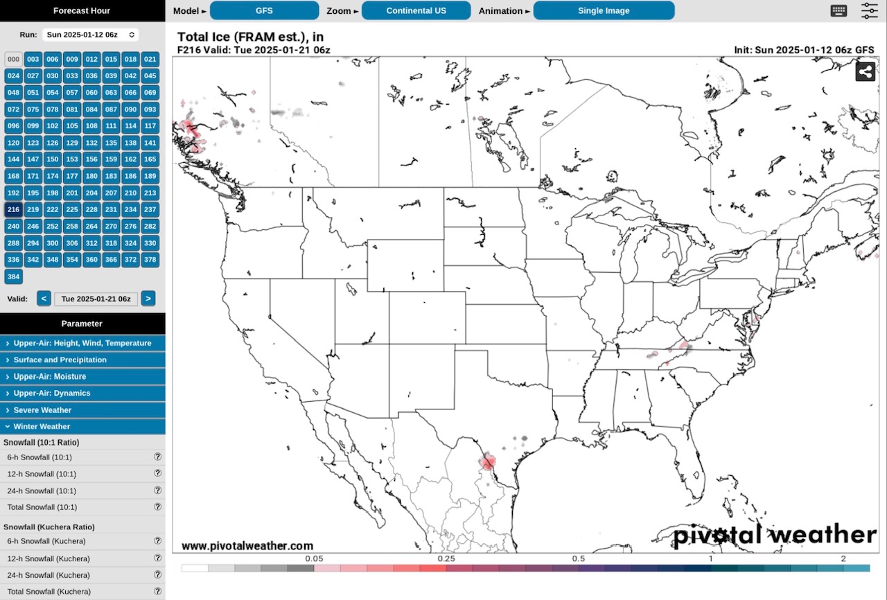
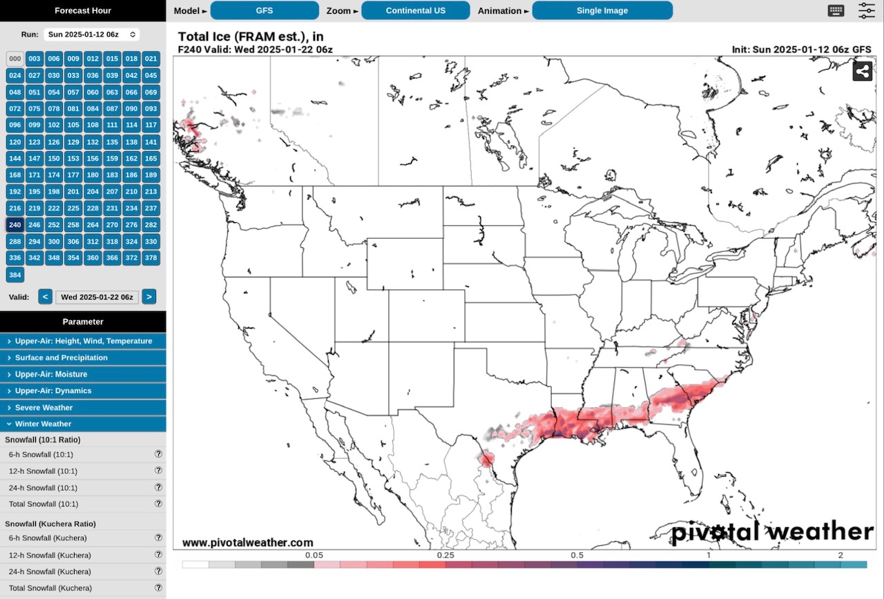
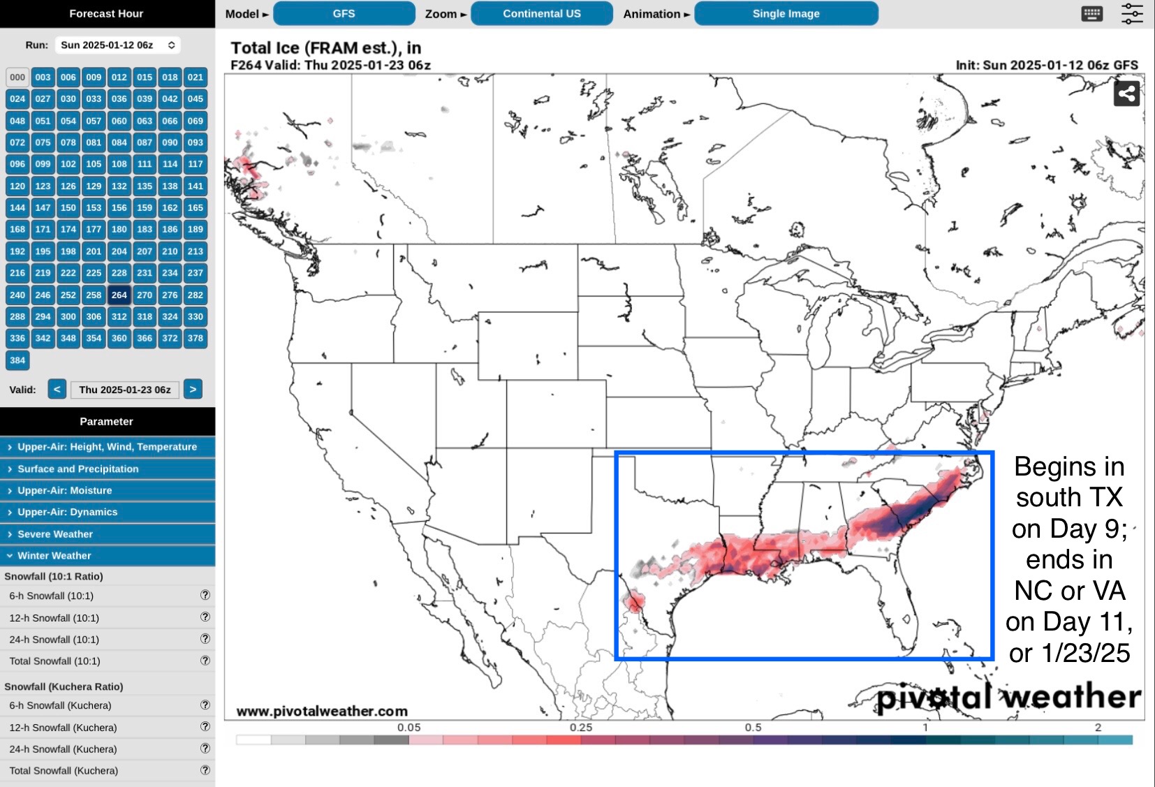
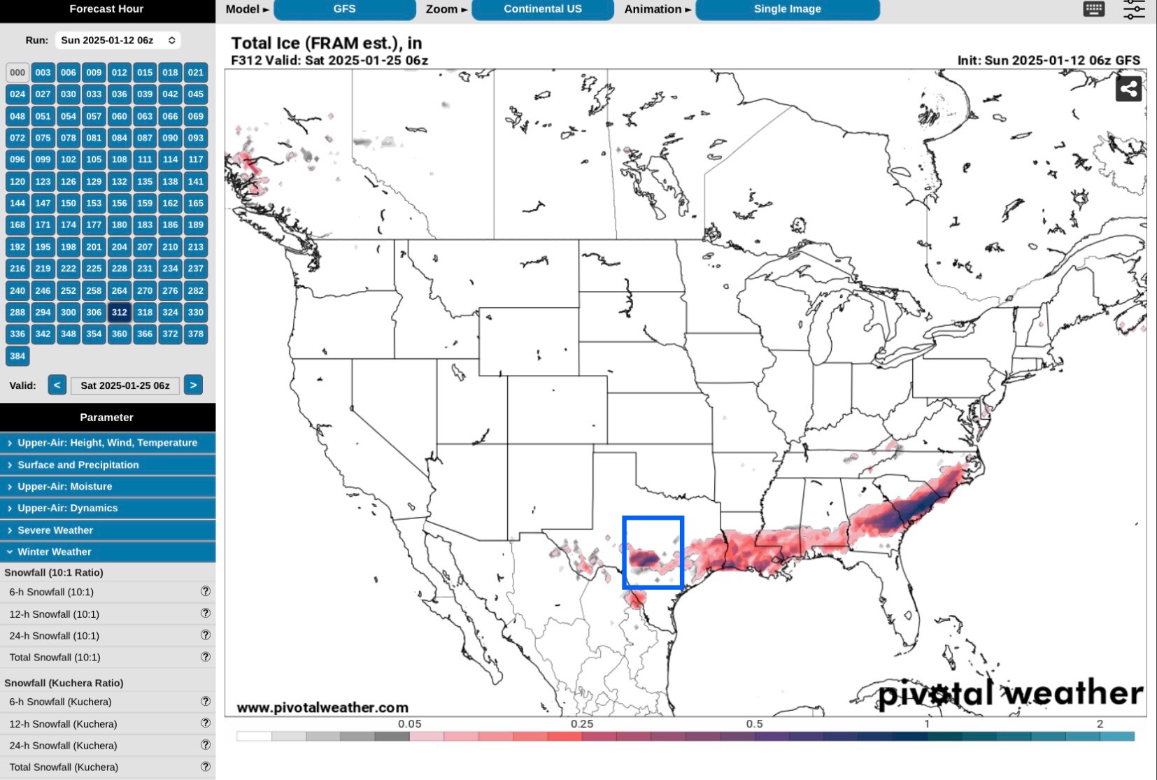
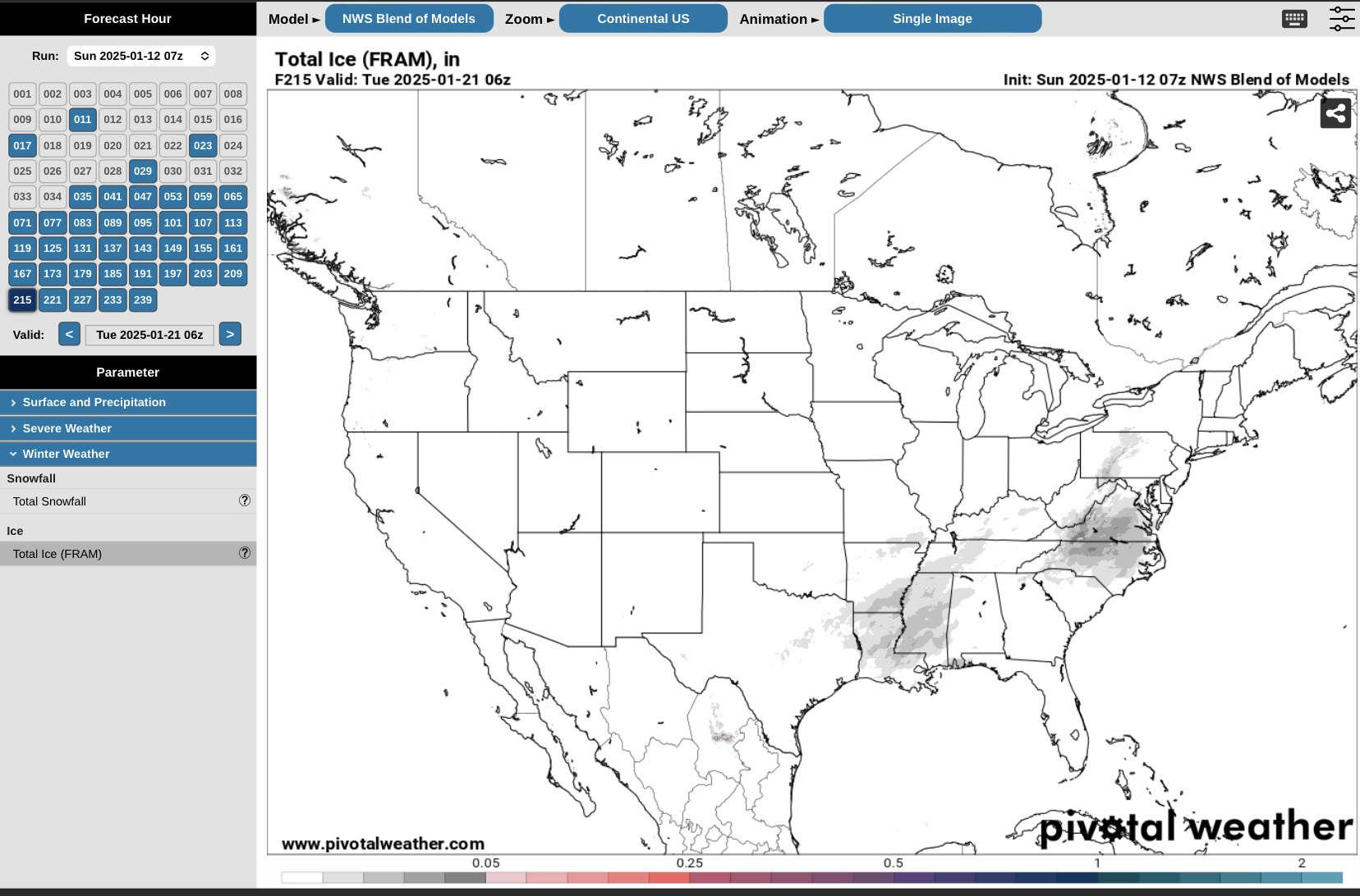
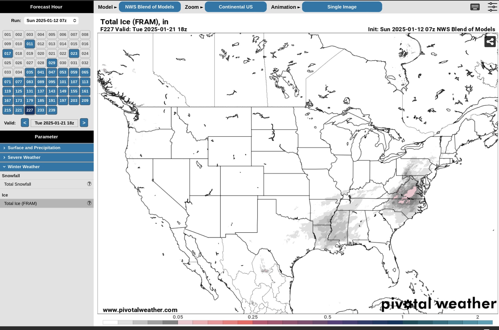
Starting about 9 days out on the GFS is a potential ice event that could stretch from southwest Texas across the South and Southeast Regions to southeast Virginia. This would roughly be the 21st thru 23rd. (I might mention here that Temperatures in the middle part of the U.S. are forecast to be below normal beginning Jan. 19 thru 25.)
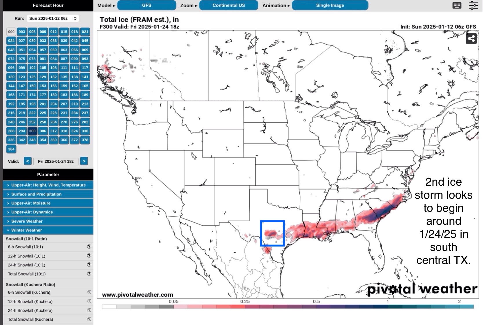
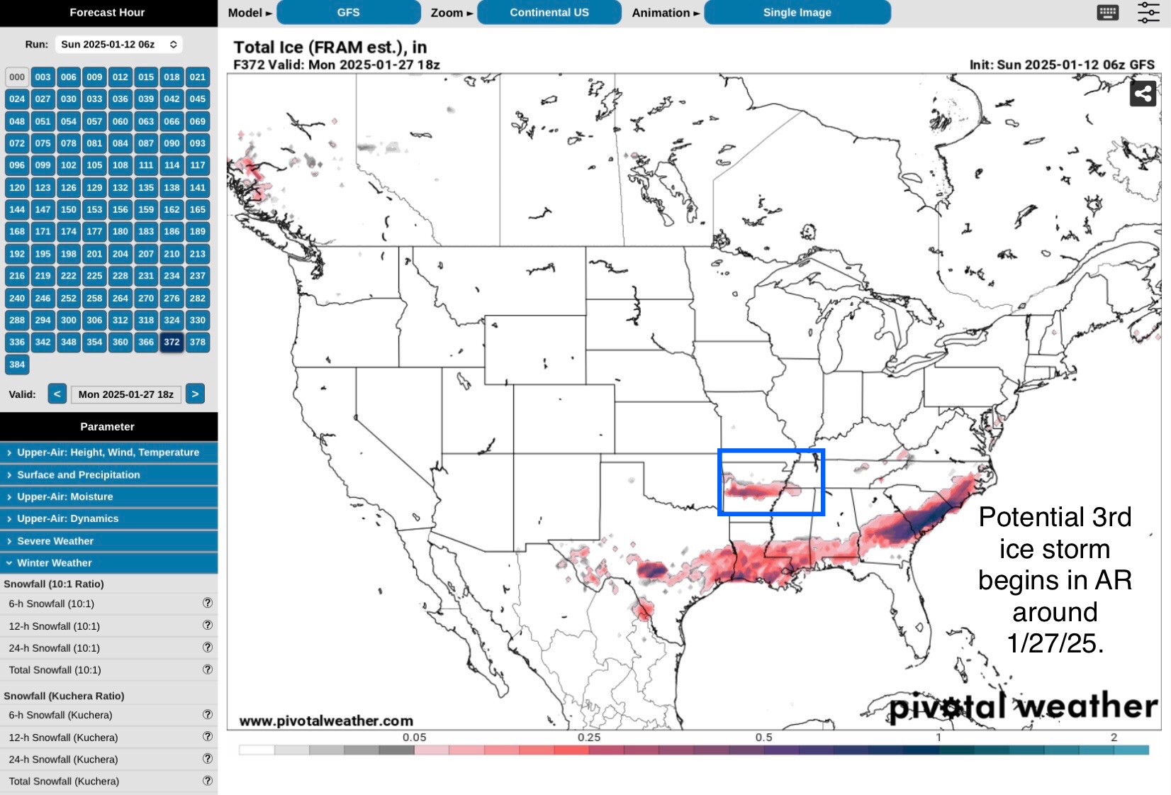
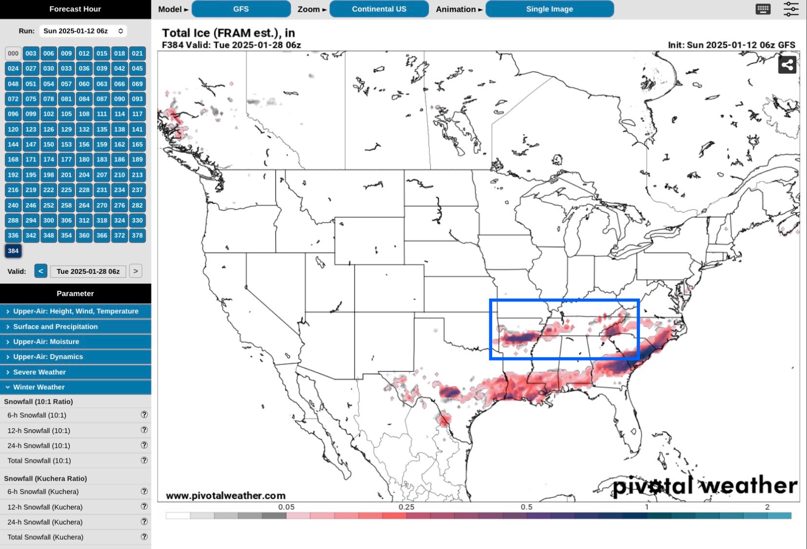
The 2nd potential storm looks to be in south central Texas around the 23rd or 24th. And the 3rd potential event looks to begin in Arkansas and extend into Tennessee and North Carolina in about 14 or 14 days.
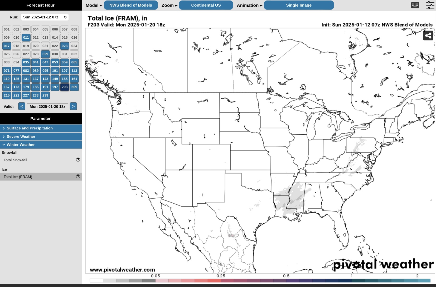
The NBM model agrees somewhat with the GFS on the timing of the first event in about 9 days, and its impact area.
Just an FYI for now… - Sid Sperry

 Show/hide attachments