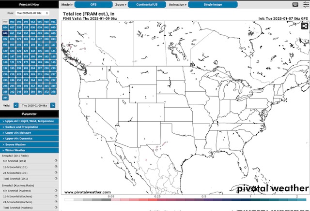
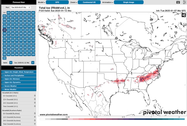
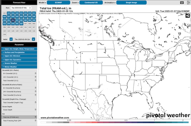
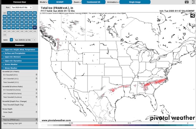
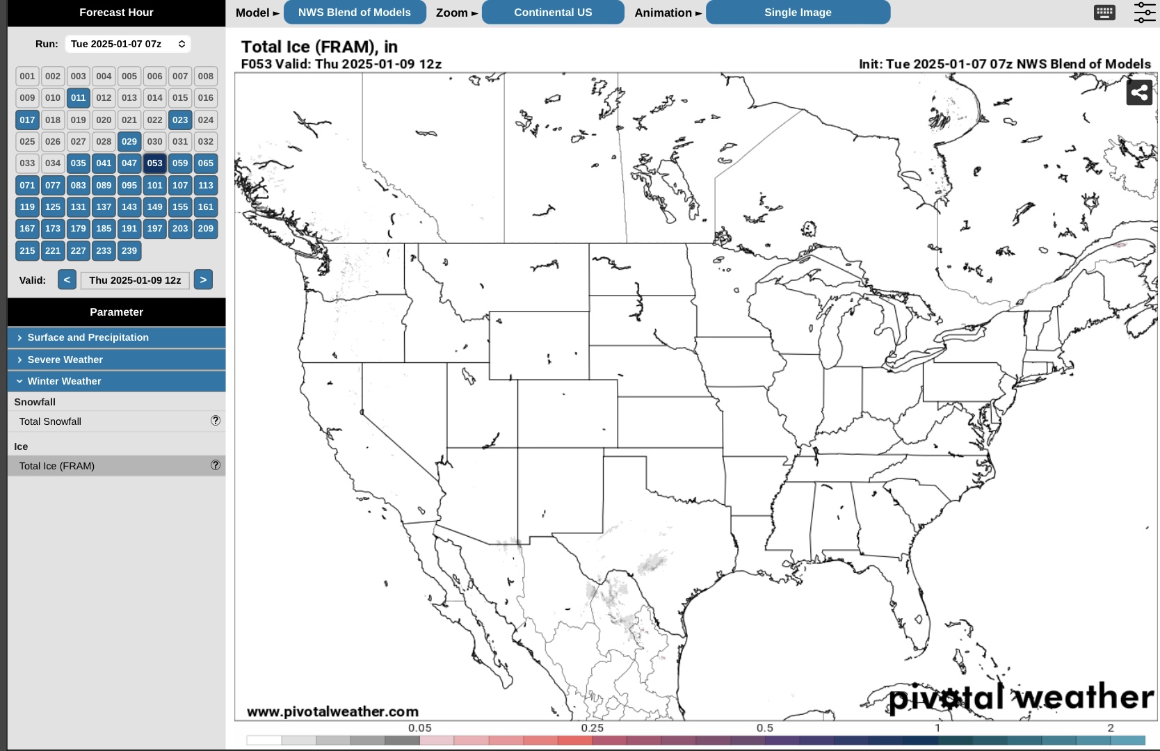
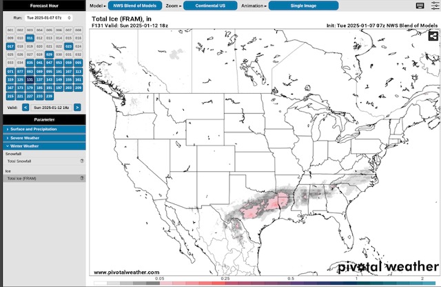
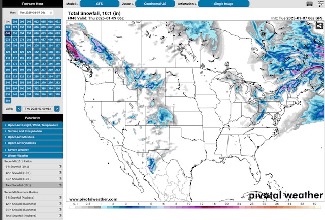
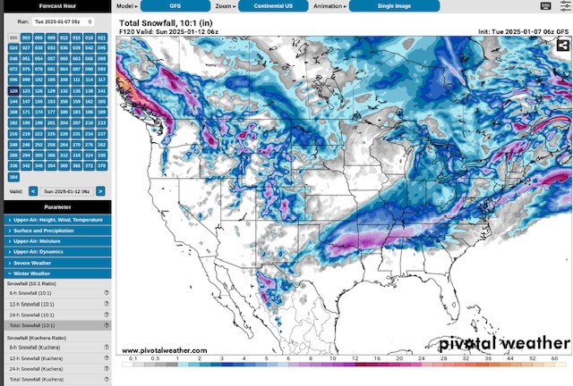
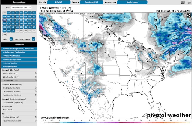
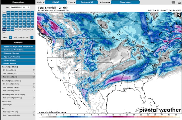
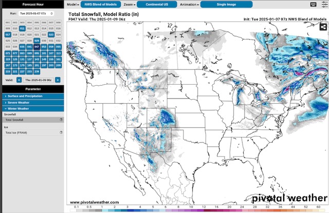
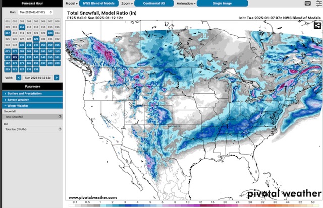
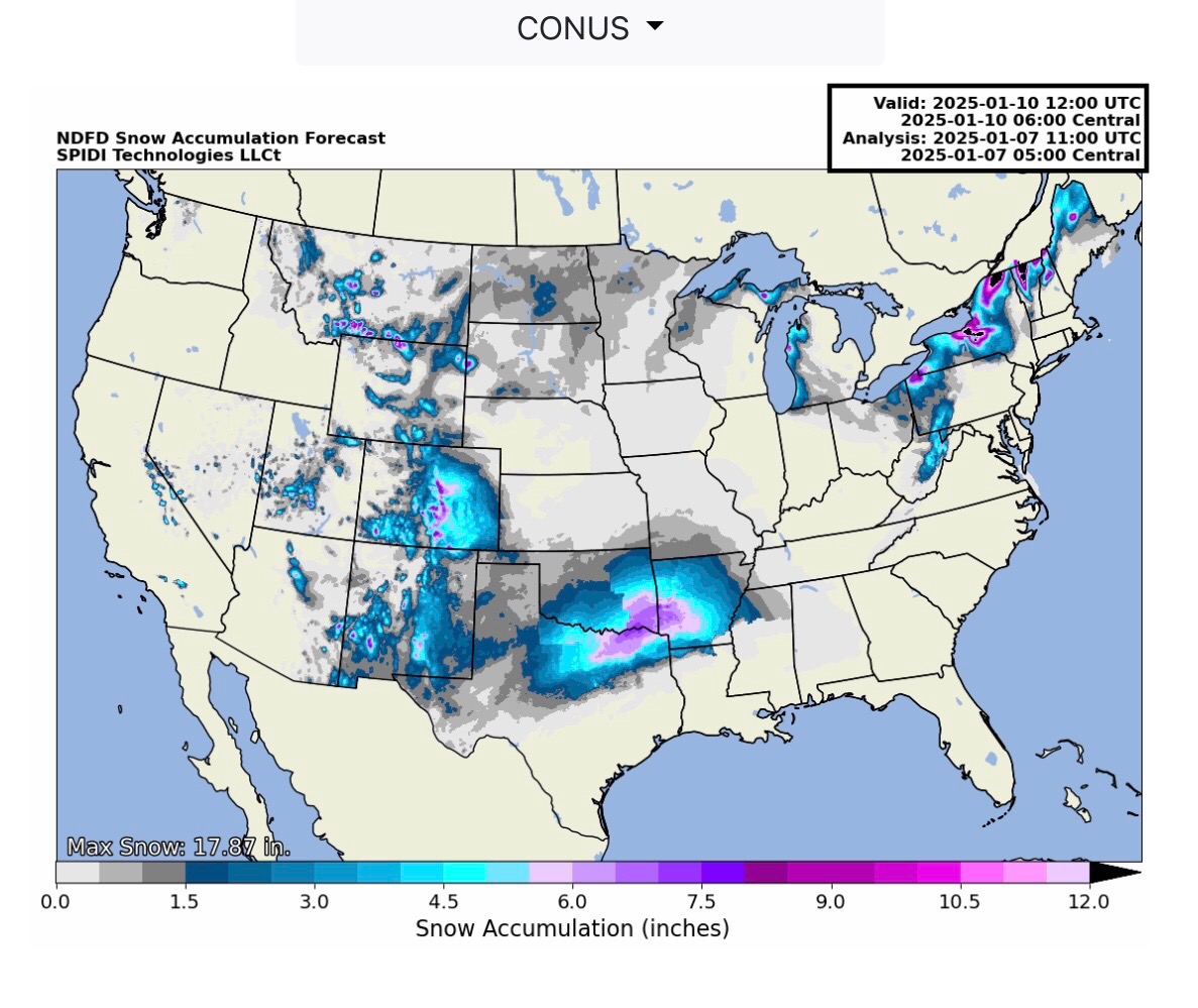
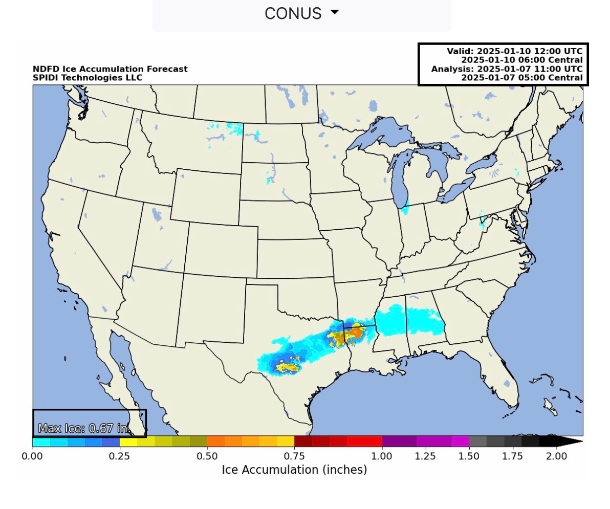
Long Term Models showing potential ice and snow accumulations and forecast paths. GFS, Euro or ECMWF, and NWS National Blend of Models used in first 12 graphics (6 for ice, 6 for snow). Then, Front End of storm forecasts from NWS, beginning today through 6am CT Friday, 1/10/25, for Snow and Ice.
Sidney Sperry 07 Jan 2025 12:10 UTC
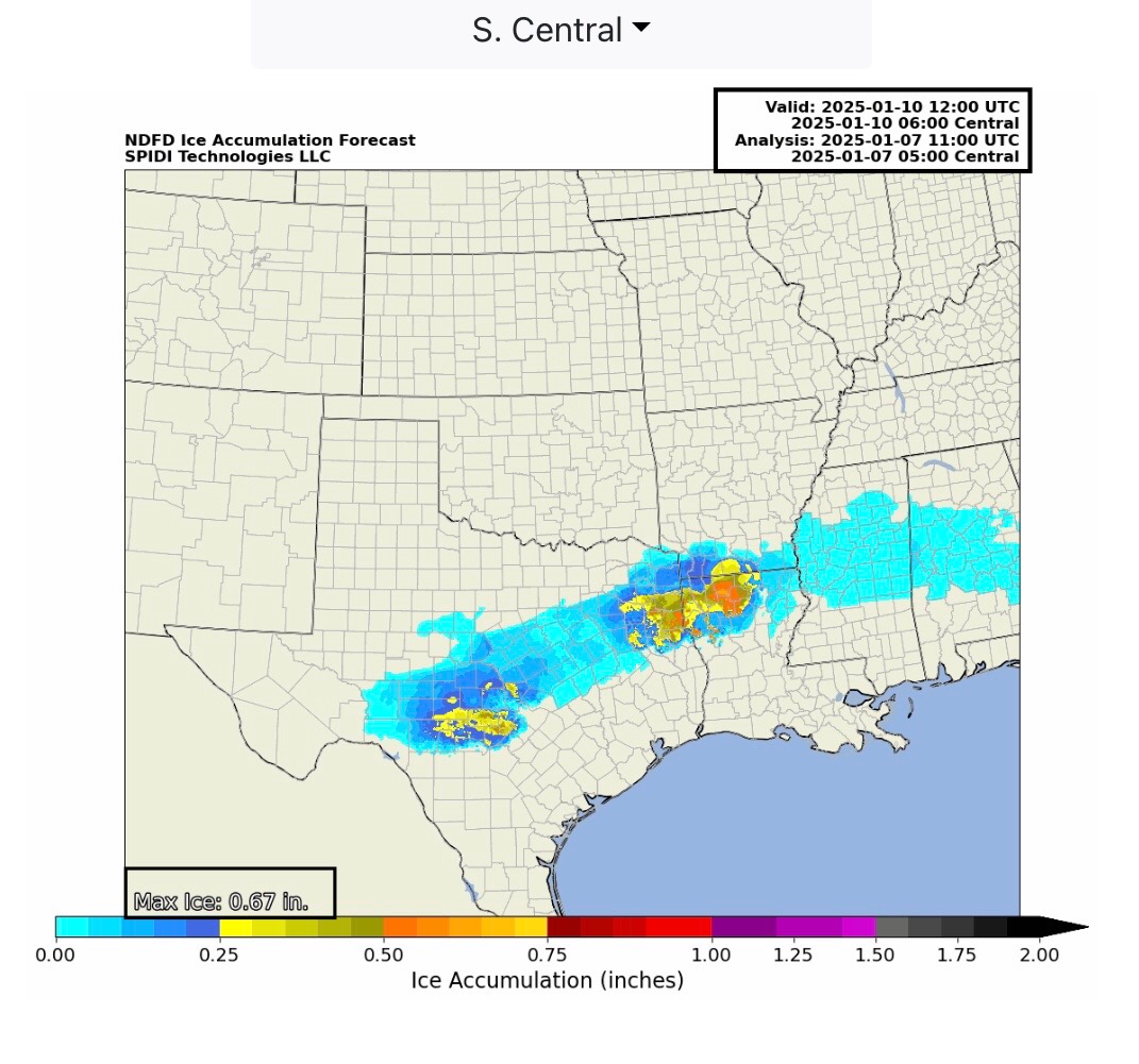
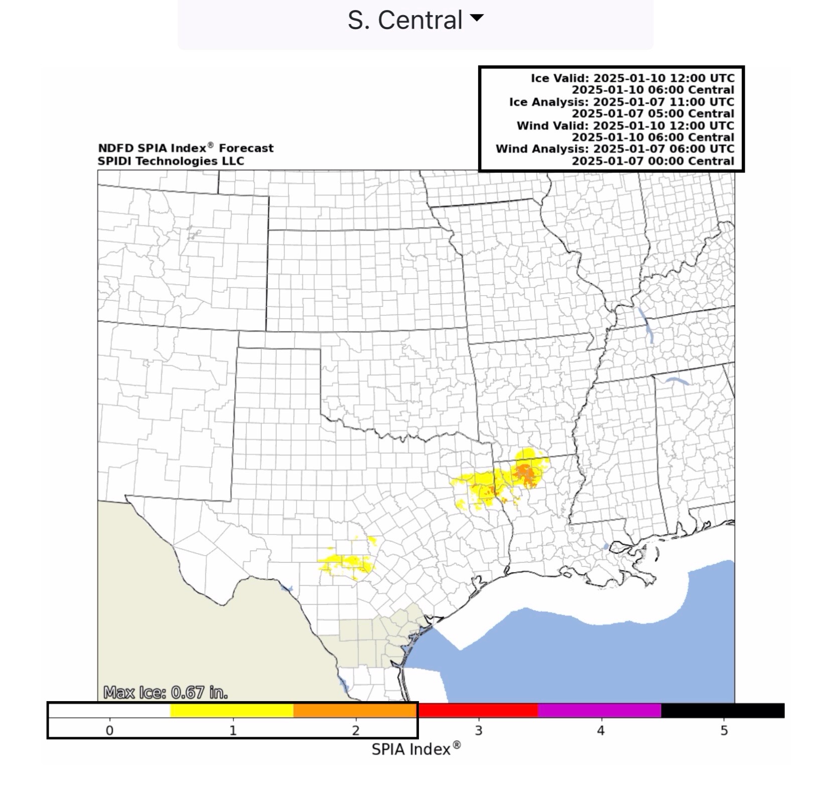
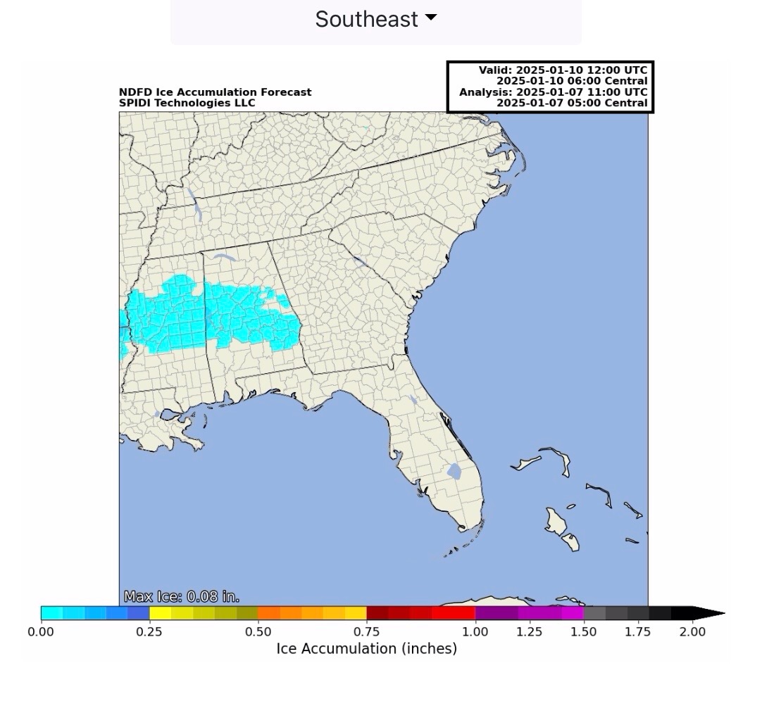
Max ice in current NWS grids thru 6am Friday, 1/10/25 is at 0.67” in parts northern LA. The current SPIA Index Ice Impact Forecast is at Levels 1 & 2 in parts TX, AR & LA.

Keep in mind the last few graphics are only out to 6am CT Friday; this storm will continue to move to the east through MS, AL, GA, SC, NC and potentially VA from Thursday night into early Sunday morning. More forecast updates to come over the next couple of days. - Sid Sperry

 Show/hide attachments