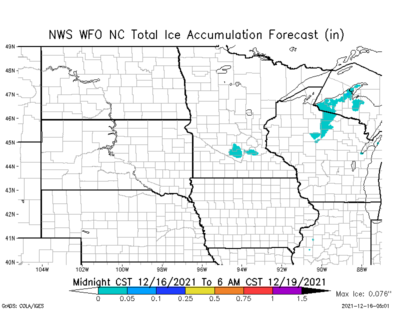
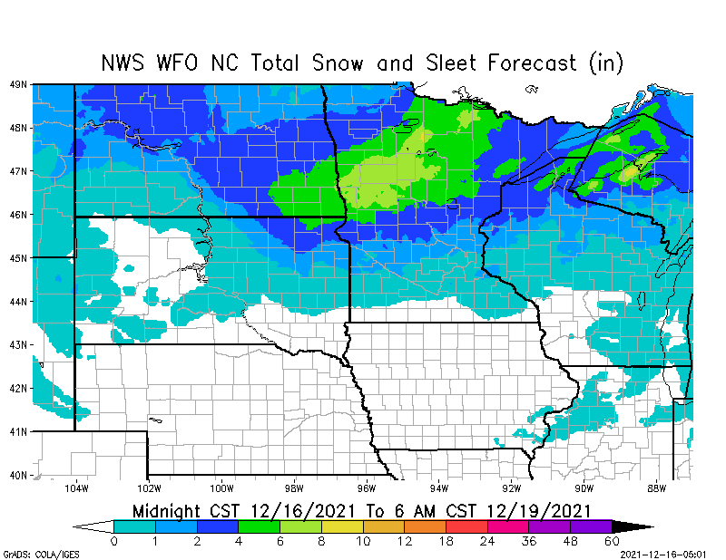
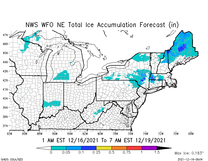
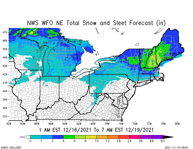
Marginal Risk of Severe Thunderstorms, Day 1 and Day 2, parts OK, TX, AR, LA, MS & TN. 40% chance severe thunderstorms today for much of AR. Light freezing rain possible parts MN, WI & MI Upper Peninsula (less than 1/10”). From 2” up to 8” snow possible over next 72-hrs. parts ND, MN, WI, MI, NY, VT, NH, MA & ME.
Sidney Sperry 16 Dec 2021 12:13 UTC
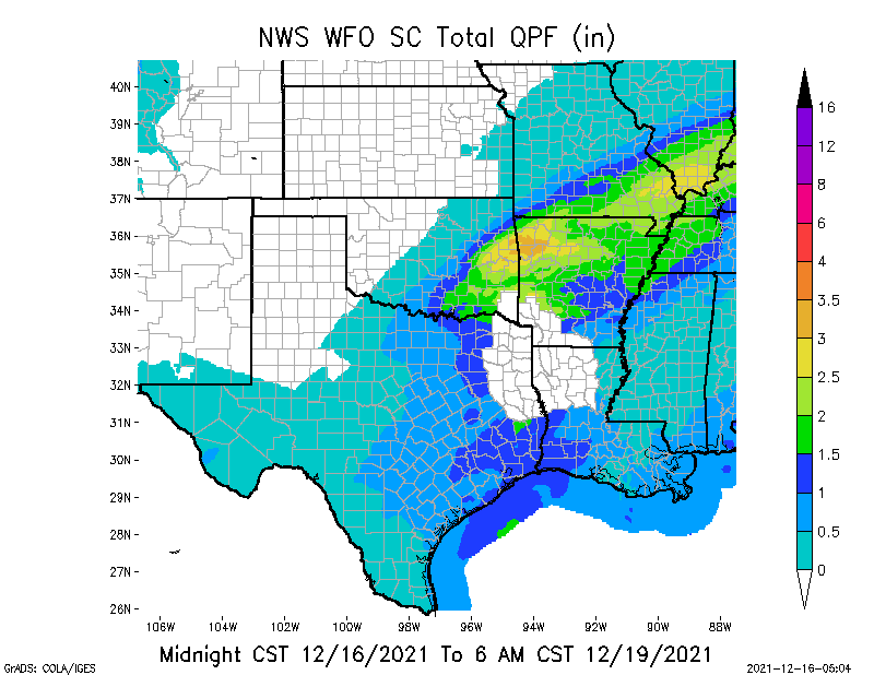
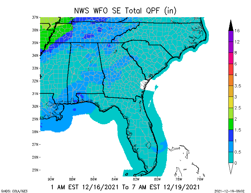
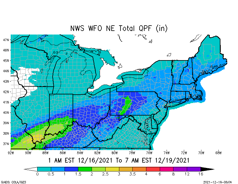
FYI… weather outlook over next 72 hours. Strong winds continue across parts of northeastern MN, northern WI, and into the MI Upper Peninsula. From 2” up to 8”+ snow possible across parts ND, MN, WI, MI, NY, VT, NH, MA & ME. Thunderstorms likely today across eastern & southeastern OK, most of AR, and across northern LA and western TN.
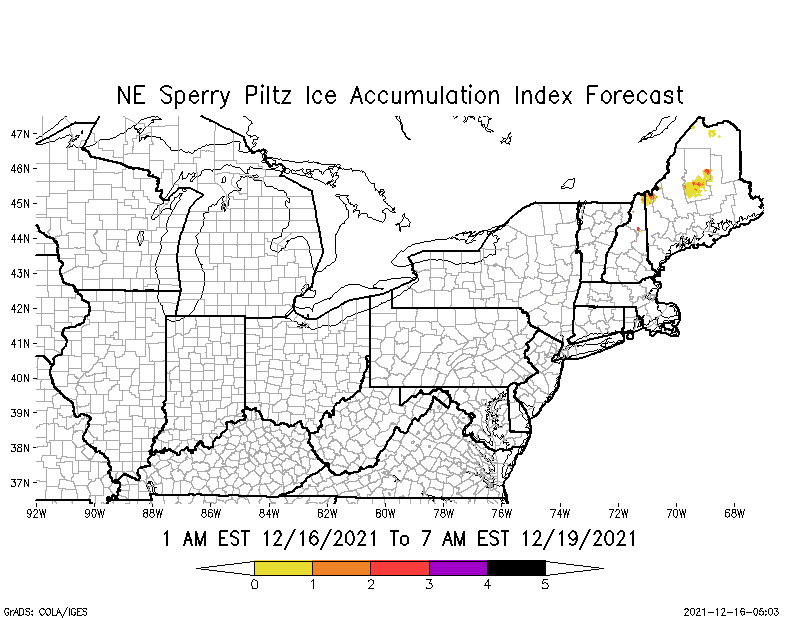
Freezing rain to near 2/10” in accumulation continues across parts northern NH and higher elevation areas of north-central ME. SPIA Index Levels 1 thru 3 in parts NH & ME.
Elevated Fire Risk today and tomorrow across western KS, southeastern CO, northeastern NM, and the OK & TX panhandles.
- Sid Sperry

 Show/hide attachments