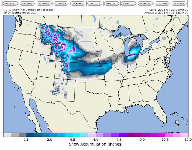
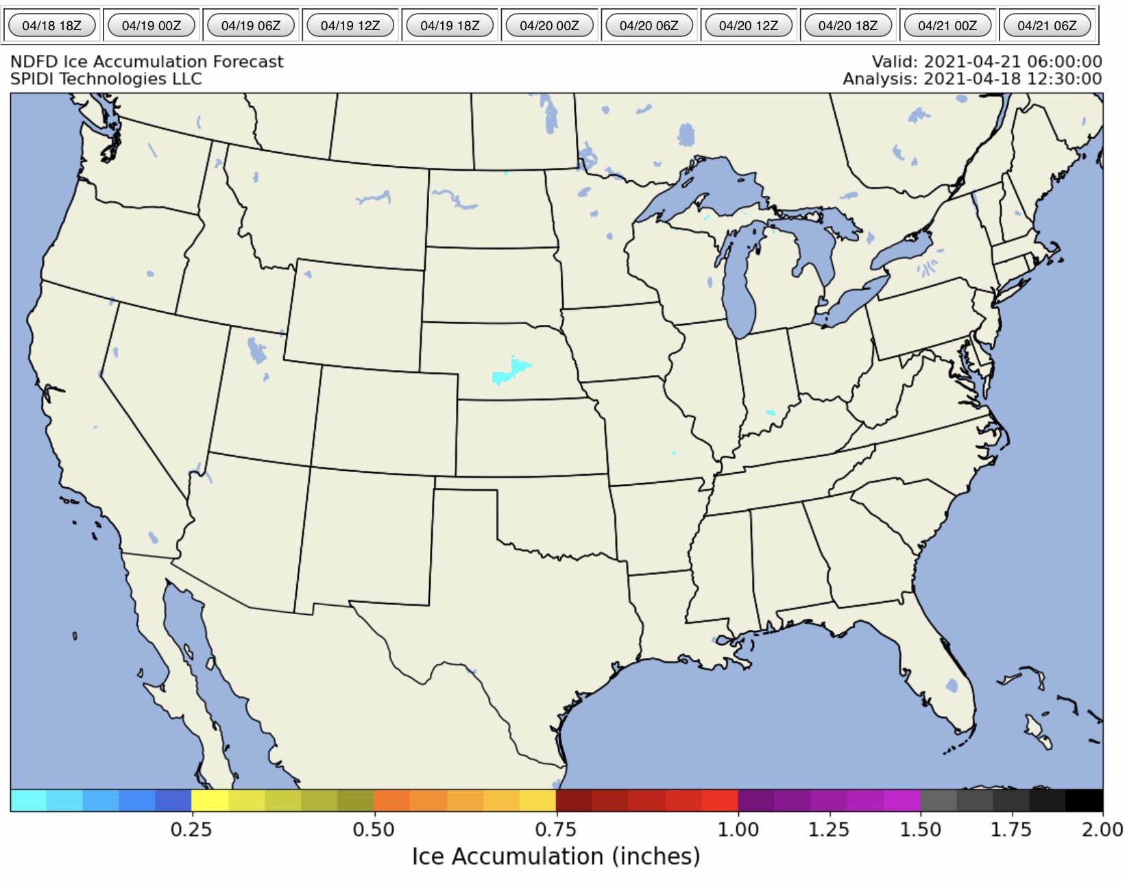
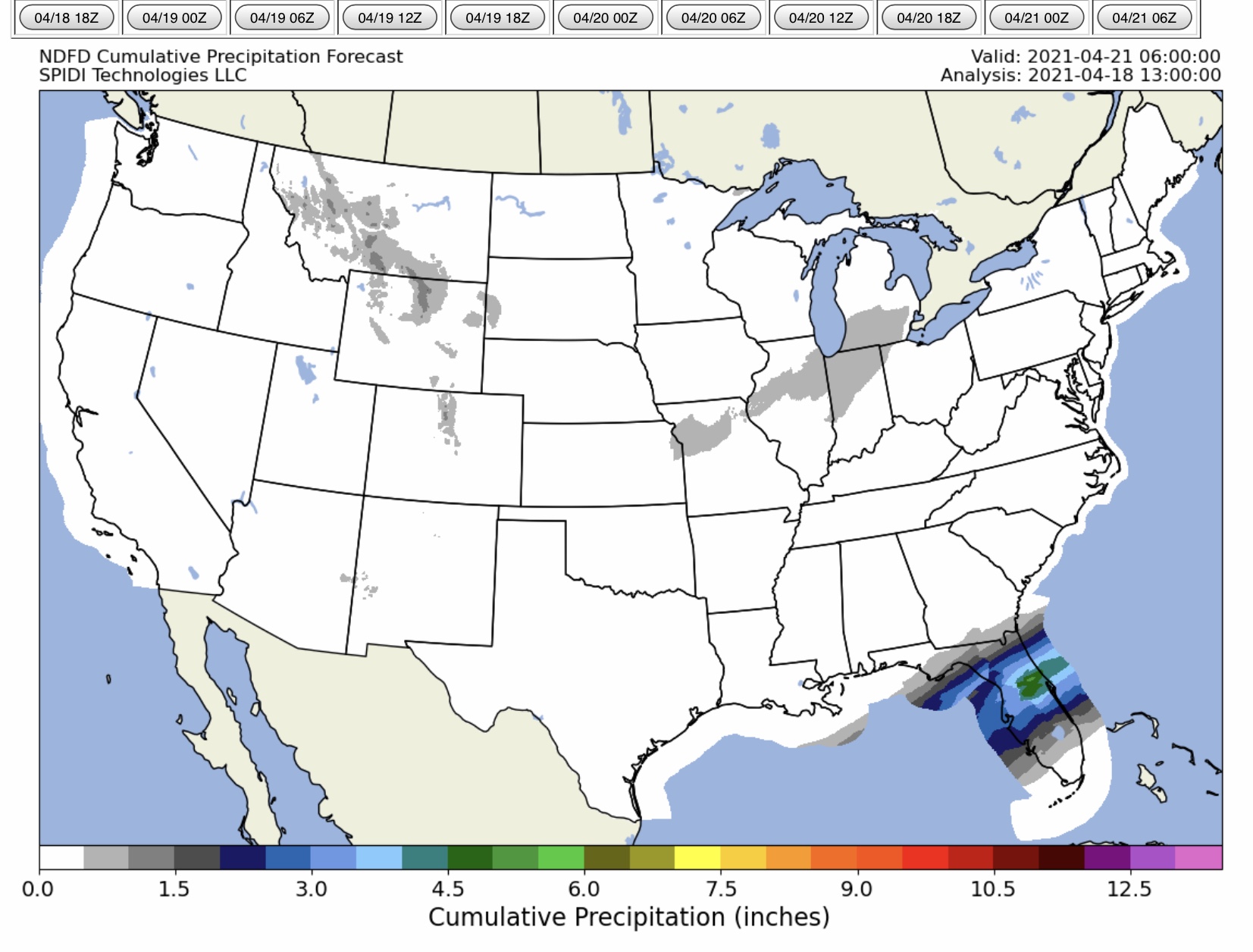
NWS Total Snow & Sleet, Total Ice, and Total QPF (Precipitation) Forecasts, CONUS, next 72 hours, to 6:00am Wednesday, 4/21/2021...
Sidney Sperry 18 Apr 2021 14:13 UTC
Heavy snow still in the forecast for the higher elevation areas of MT, WY, CO and western SD. Also, 3” up to 8” snow possible mid-week in parts southern MI, northern IN. From 1” to 6” snow also possible across parts SD, NE, CO, KS, IA, MO, IL & OH.

Very light freezing rain & ice accumulation possible in central NE on Tuesday.

From 1” up to 5”+ rainfall possible over the next 72-hour period in parts of FL.

Sid Sperry
President & CEO
SPIDI Technologies, LLC
200 Eastwood Drive
Guthrie, OK 73044-9442
Cell Phone: 405-627-7754
Email(s):  SidSperry@gmail.com  and  Sid.Sperry@spidiweather.com
URL(s): www.spia-index.com  and  www.NationalOutages.com
“Home of the SPIA Index Ice Impact Forecasts for Electric and Communications Utilities”

 Show/hide attachments