Area of Concern for Higher End Wind Speeds from Hurricane Sally on Tuesday into Wednesday...
Sid Sperry 13 Sep 2020 12:32 UTC
All,
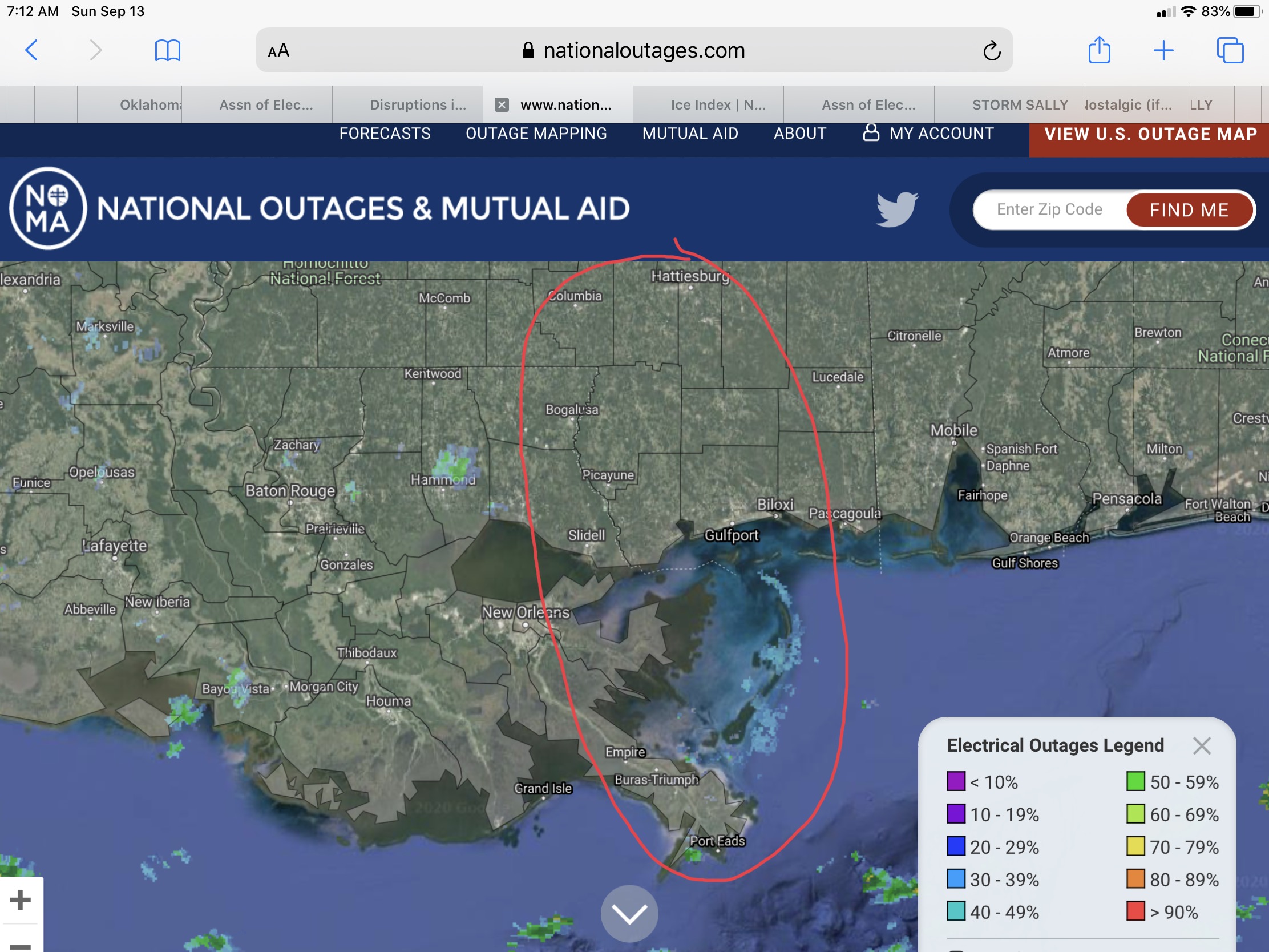
Based on current NHC Forecasts, the area circled in RED below would have a higher probability of receiving higher sustained winds and wind gusts due to being on the eastern or “right side” of soon-to-be Hurricane Sally’s eyewall as it comes ashore and makes landfall on Tuesday morning. It should be noted that the “eyewall track” has shifted ever so slightly to the west in each of the last few NHC Updates, bringing the eyewall just a little closer to New Orleans, LA, with each forecast update. While Sally is expected to be downgraded to a Tropical Storm within hours after its landfall on Tuesday, areas of far eastern Louisiana and southwestern Mississippi could still experience sustained winds in excess of 74 mph, and areas near Columbia and Hattiesburg could experience sustained winds greater than 58 mph Tuesday night into Wednesday. Sally will likely be downgraded further to a Tropical Depression on Wednesday night or Thursday morning, as it moves more to the north and northeast.
- Sid Sperry

 Show/hide attachments